

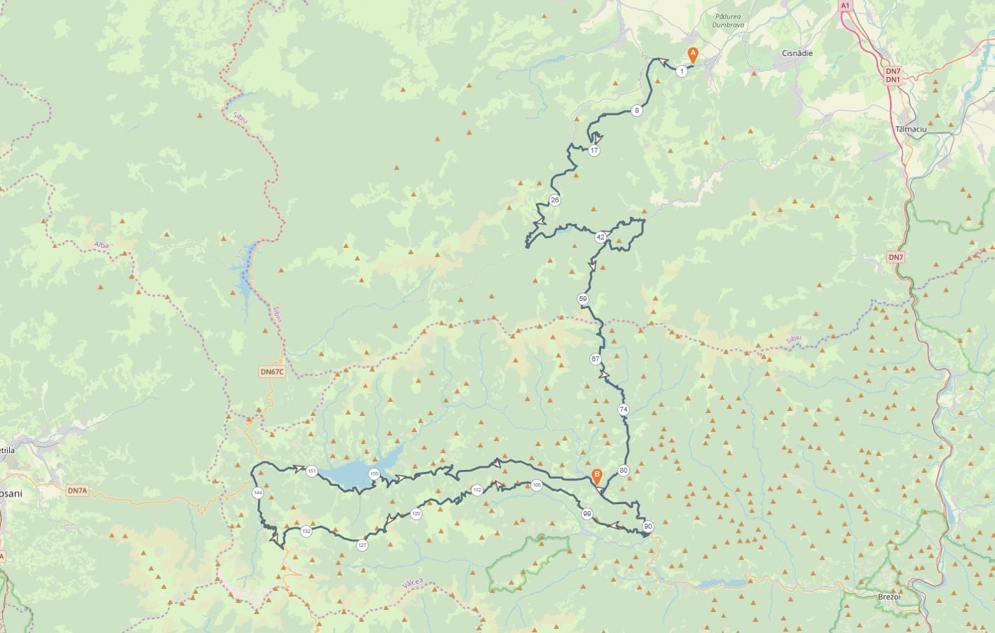
Rășinari – Strategica – Return
The route starts at the exit of Rășinari, climbs towards Păltiniș and turns left at Curmătura cabin, continuing up Șteaza to Păltiniș – Sadu Dam – then descends into Valea Sadului, where we turn right about 8.5 km from the dam and head towards Voineasa.
At the junction of Mihai Eminescu street and DN7A we turn left; the entrance to Strategica is after Valea Măceșului, roughly 250 metres on.
The return follows the same road back from Belvedere Transalpina to Voineasa.
P.S. The map includes the route back to Voineasa; from Voineasa to Rășinari simply retrace the outbound road.
A brief history of Strategica:
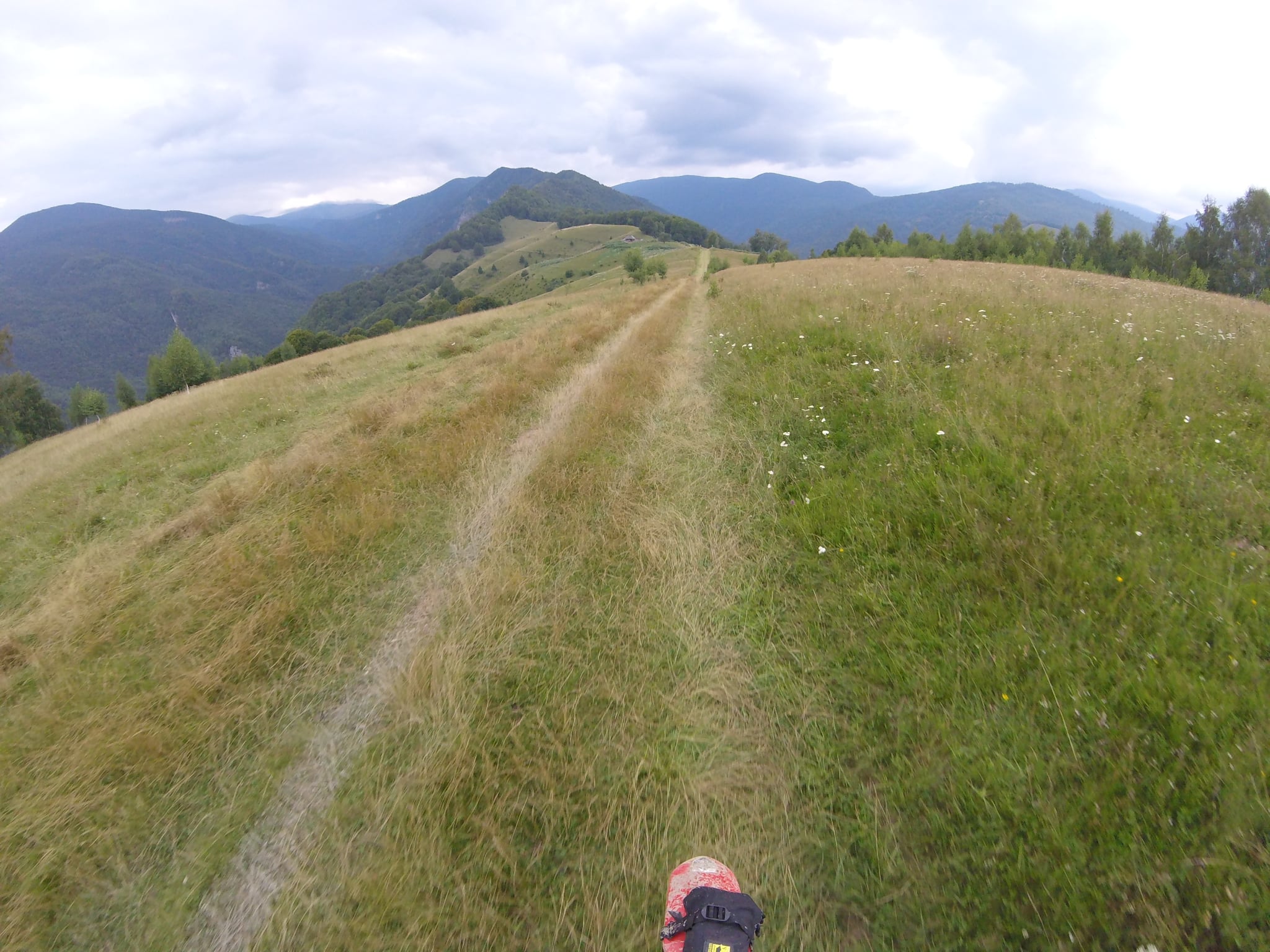
Built in the interwar period for military purposes, it was part of a network of strategic ridge roads designed to ensure troop mobility along the Southern Carpathians. The route links the Voineasa area to the Transalpina road along a spectacular ridgeline with sweeping views over the Lotru and Cindrel mountains. Initially restricted to military vehicles and mountain patrols, the road saw little use after World War II and remains to this day an isolated route – ideal for off-road enthusiasts and those seeking genuine mountain adventure.
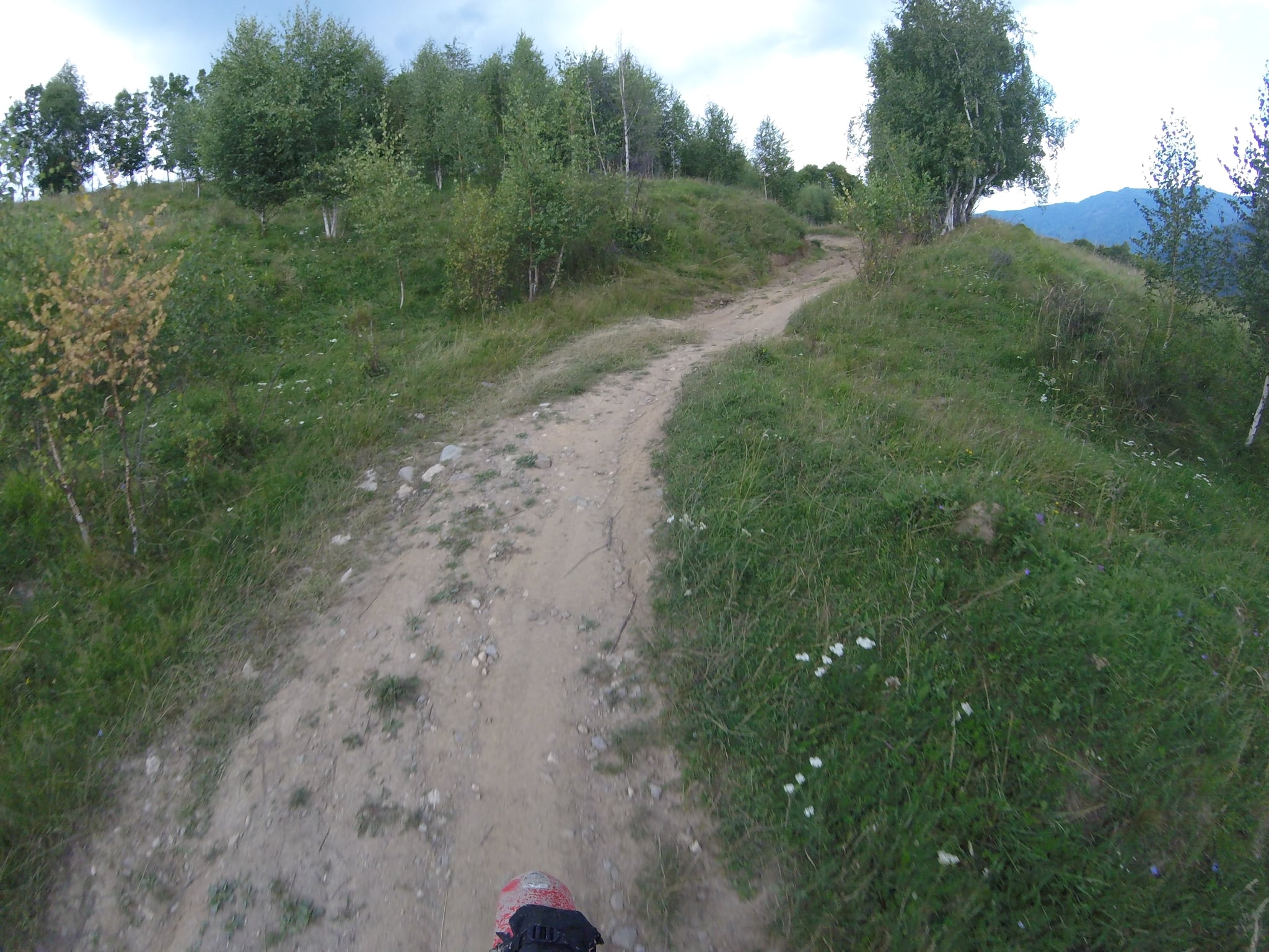
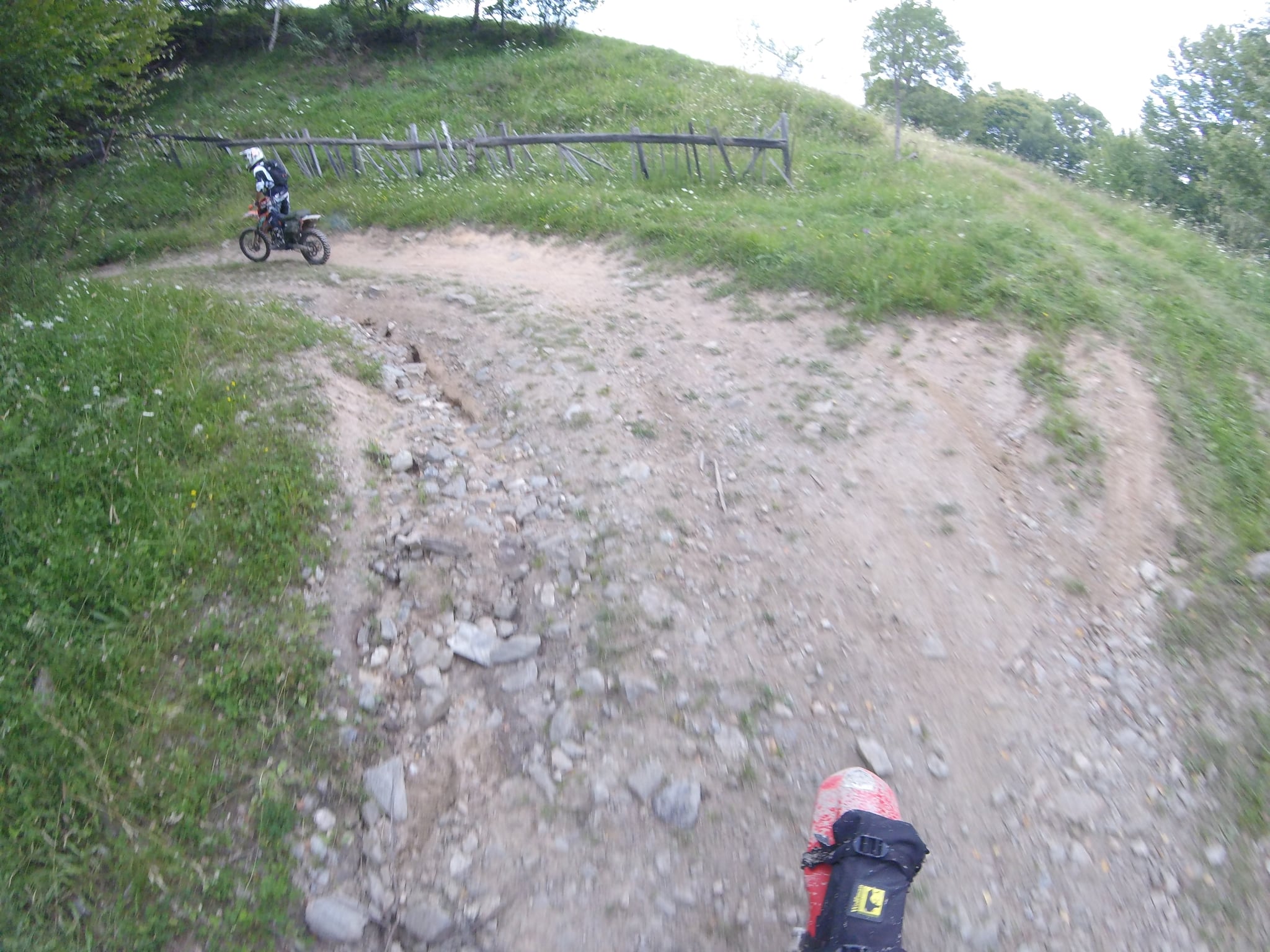
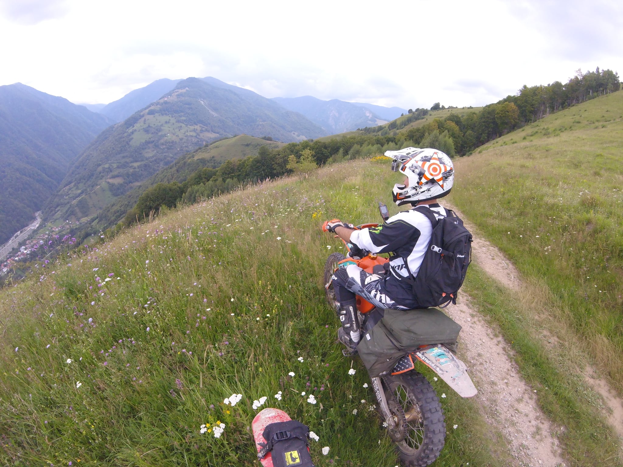
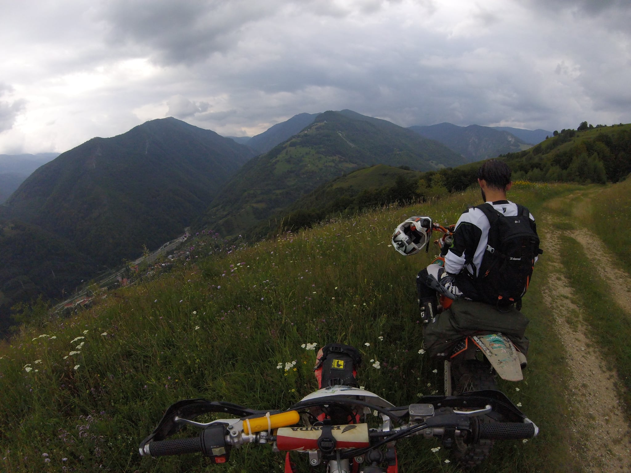
Photos from the route
265 km
1986 m
Asfalt
74.3 % offroad
12 hours +
Usor
Rășinari
Rășinari
DualSport